Photo via Fast Company
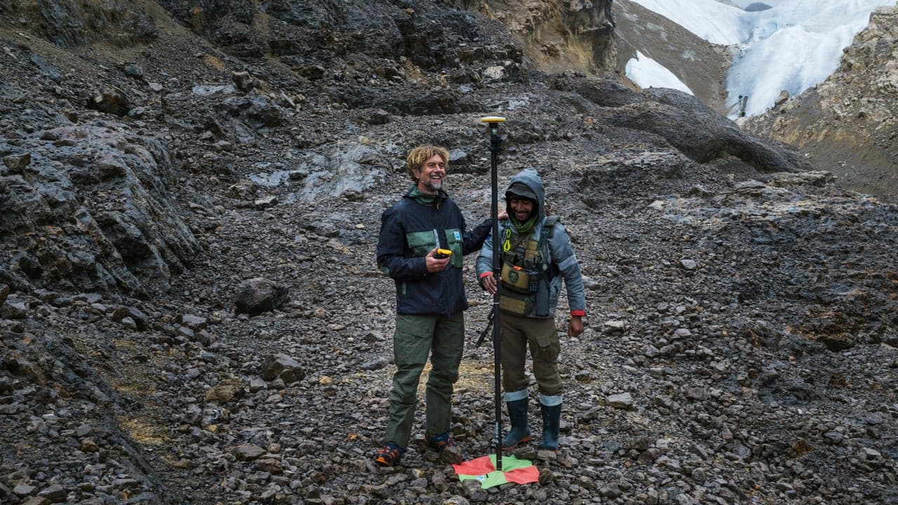
Explorer and scientist Klaus Thymann recently deployed cutting-edge 3D modeling technology to document tropical glaciers in Indonesia's remote highlands that are disappearing at an alarming rate. According to Fast Company, Thymann used drone photography and geolocation software to create centimeter-level detailed maps of the glaciers near Puncak Jaya, the country's highest mountain, in an effort to preserve a visual record before these geological formations vanish entirely.
The scale of ice loss in the region is staggering. Between 1980 and 2024, the tropical glaciers shed 97 percent of their ice coverage, shrinking from an area roughly twice the size of Central Park to something smaller than Grand Central Station. Of six original glaciers in the area, four have already disappeared completely, and scientists expect the remaining two to be gone by 2030, illustrating the accelerating impact of climate change on unique ecosystems.
Thymann's approach leverages Trimble's geolocation technology and advanced software to stitch together thousands of drone images—a necessary solution given that the region receives rain approximately 300 days annually, making traditional satellite mapping unreliable. His nonprofit, Project Pressure, has employed similar documentation methods across South America and East Africa, demonstrating how innovation in data capture can serve both scientific and archival purposes.
The resulting open-source dataset will enable researchers to track ecological changes as the landscape transforms, while also preserving cultural heritage for local communities who regard these formations as sacred 'eternity' glaciers. This work underscores how technology can serve dual purposes: advancing climate science while creating permanent records of environmental loss for future generations.